Residential lot feasibility aerial
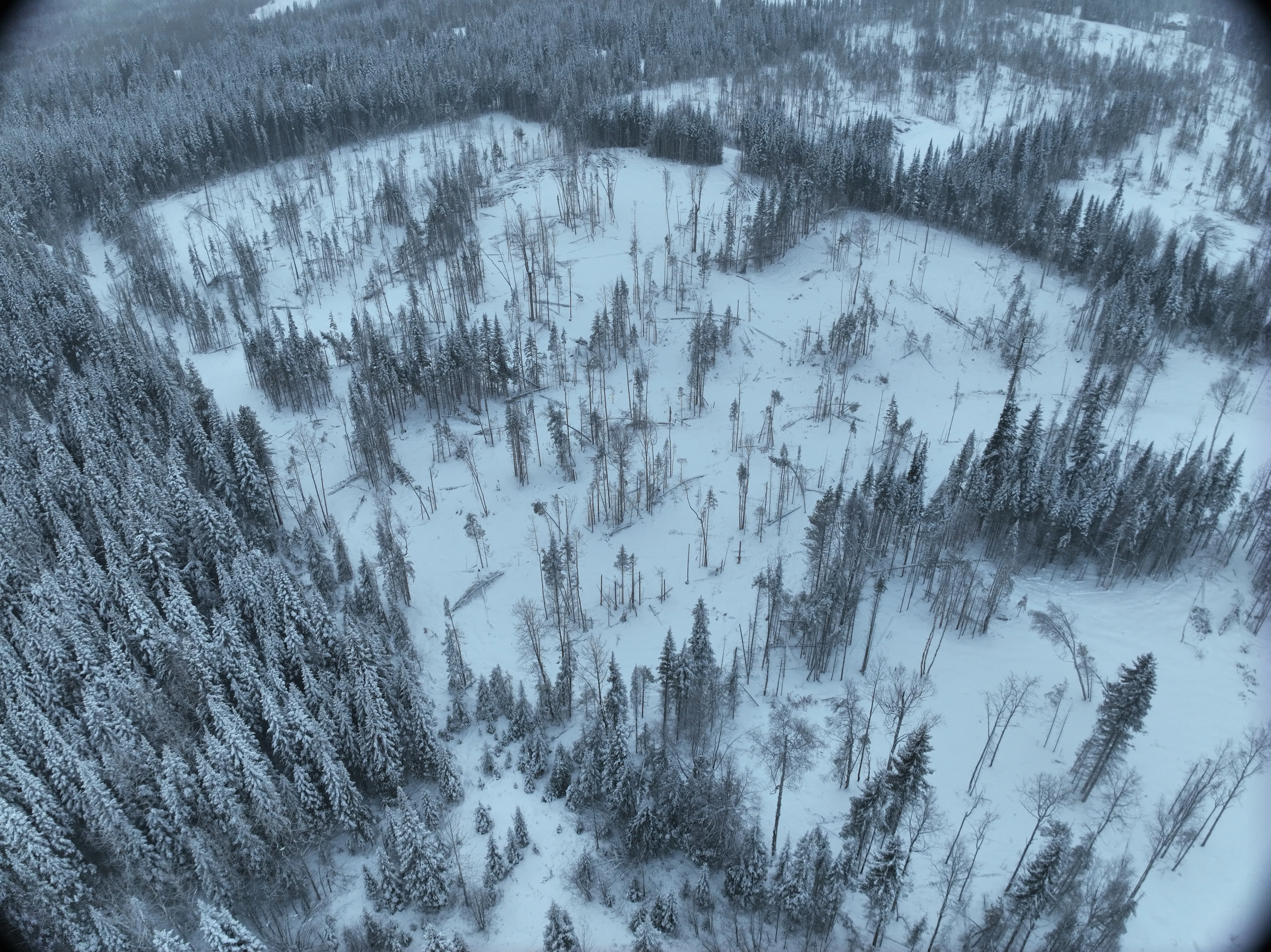
Aerial capture of three adjacent residential lots to support feasibility planning for a new build. Ortho and surface model so the prospective owner could see what they were actually working with.
- Client
- Confidential
- Area
- 1 ha
- Industry
- residential
The ask
Prospective buyer/builder wanting to understand three adjacent lots before committing to a build. Slope, access, treed extents, where a shop or house could actually sit.
How I approached it
Set the base on a local control point and shot GCPs across the three lots. Flew the extent with the Mavic, picked up the GCPs on the way out. Processed in Metashape and exported a simple ortho and DEM package — PDF format since the client didn’t need CAD, just something they could look at and understand.
Deliverables
Ortho and DEM as print-ready PDFs, plus a field photo set including a pano of the lots from ground level. Enough to make a buying decision against.
Outcome
Client got a top-down picture of what they were buying. Siting decisions made off real grade and layout data instead of a walk-through and gut feel.
Deliverables
- • Orthomosaic (PDF)
- • Digital Elevation Model (PDF)
- • Site field photos + pano
Tech
- • DJI Mavic Air 2s
- • Emlid Reach RS3 (base + rover)
- • Agisoft Metashape Pro