Projects
What I’ve shipped
Filter by industry or scroll the whole list. Each page walks through the ask, the approach, and the deliverables.
-
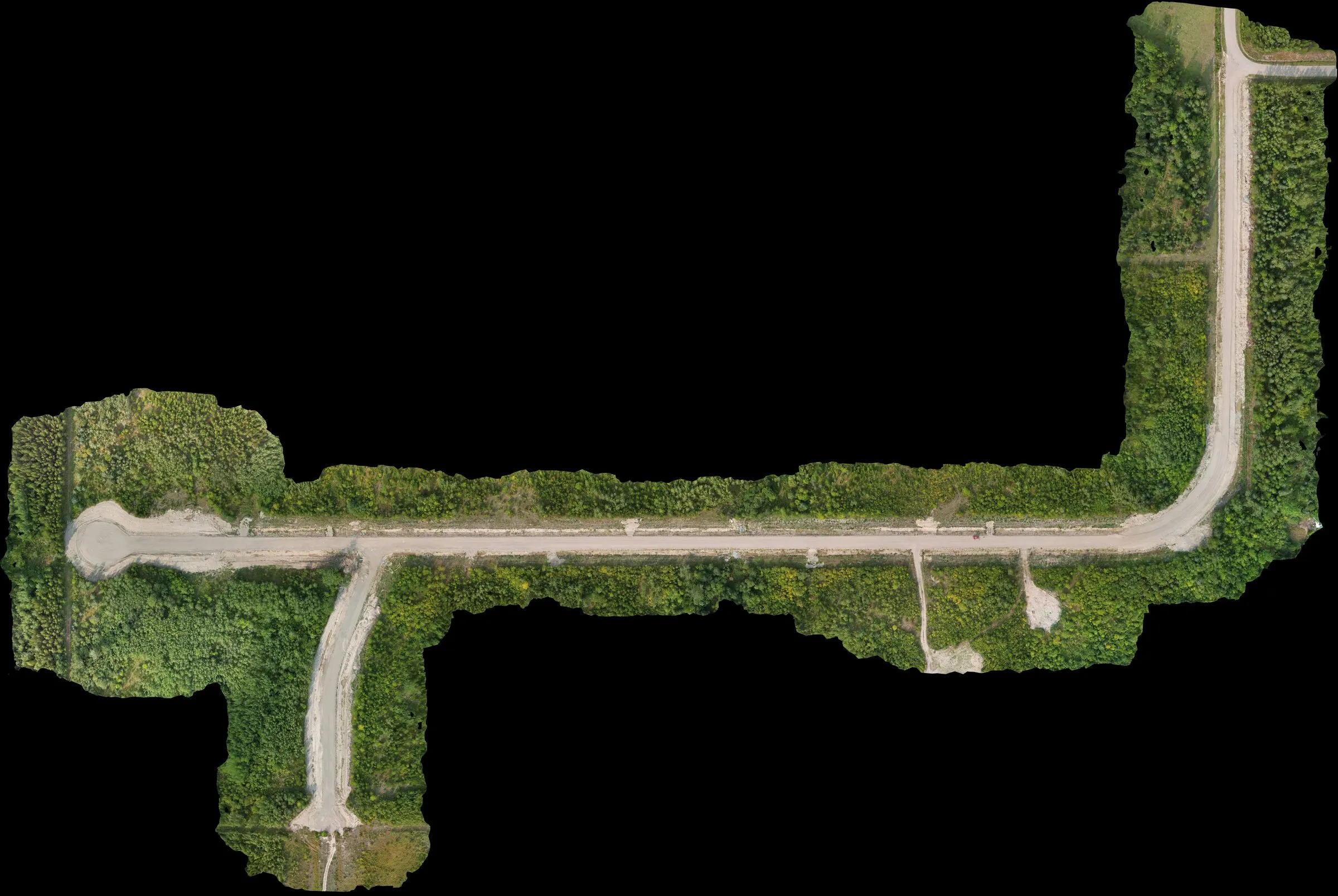 Full Service Prince George area, BC
Subdivision mapping with a control network recovery
Subdivision topographic and ortho mapping with the added job of salvaging a compromised control network left over from a prior contractor. Mapped the site, then compared current conditions against the original design to estimate completion remaining.
civil -
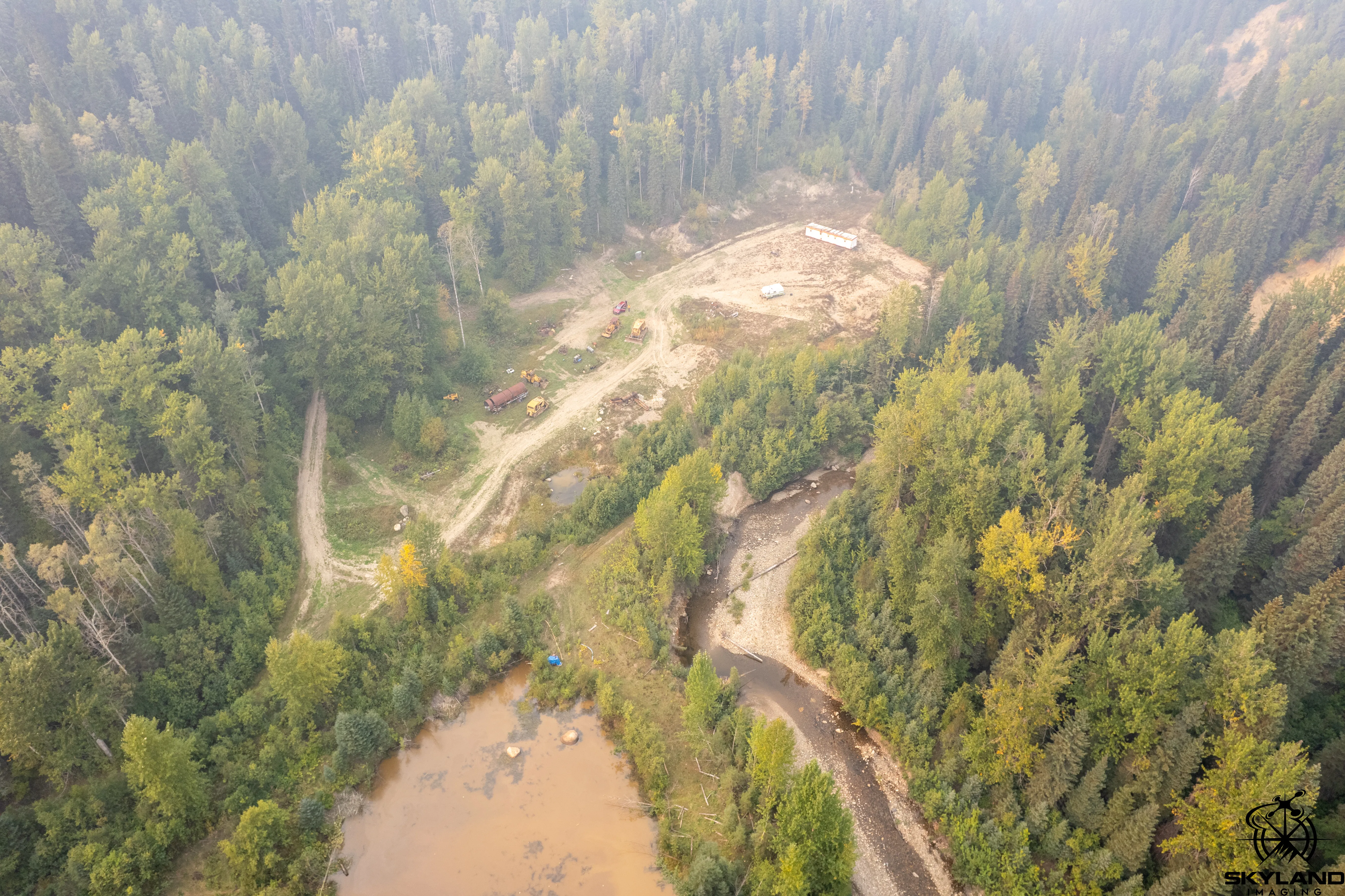 Full Service Interior BC
Placer claim topographic mapping, smoke-season flight
Standard placer-claim mapping package flown in northern BC during wildfire smoke season. Typical claim-holder deliverable — ortho, DSM, bare-earth DEM, claim extents overlaid — with the added reality of working inside heavy ambient smoke at altitude.
mining -
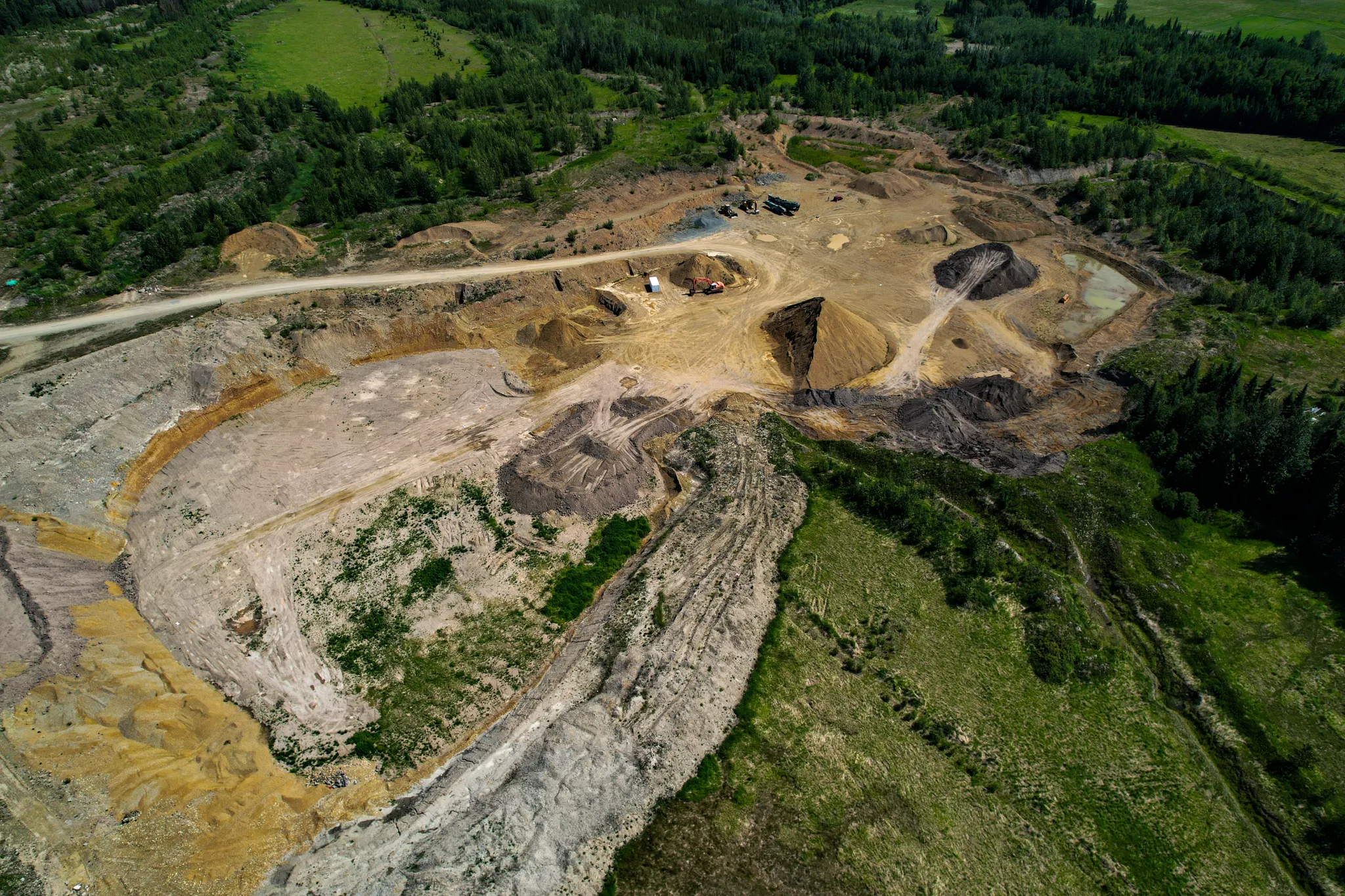 Full Service Tabor Lake area, BC
Topo update for an active aggregate pit
Refreshed the topographic surface of an active aggregate pit south of Prince George. Tied into the site's existing control so the new data dropped straight into the operator's design environment.
mining -
 Full Service Prince George area, BC
Residential lot feasibility aerial
Aerial capture of three adjacent residential lots to support feasibility planning for a new build. Ortho and surface model so the prospective owner could see what they were actually working with.
residential -
 Full Service Prince George, BC
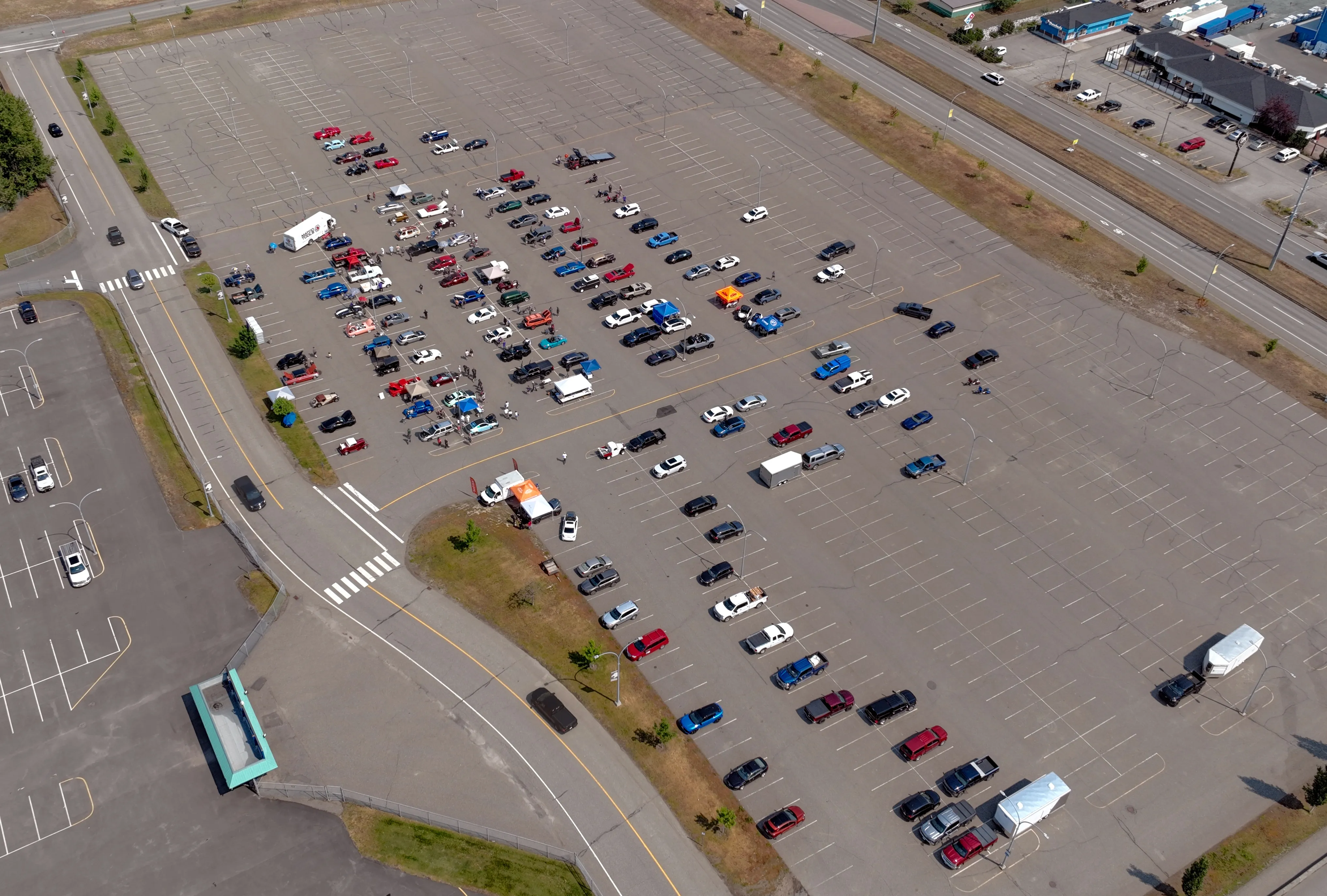
Aerial overview of a local auto show
Sub-249 g micro RPAS flown over an auto show venue for stills and video. Aerial overview of the grounds and parked vehicles for the organizer's media package.
media -
 Full Service Prince George area, BC
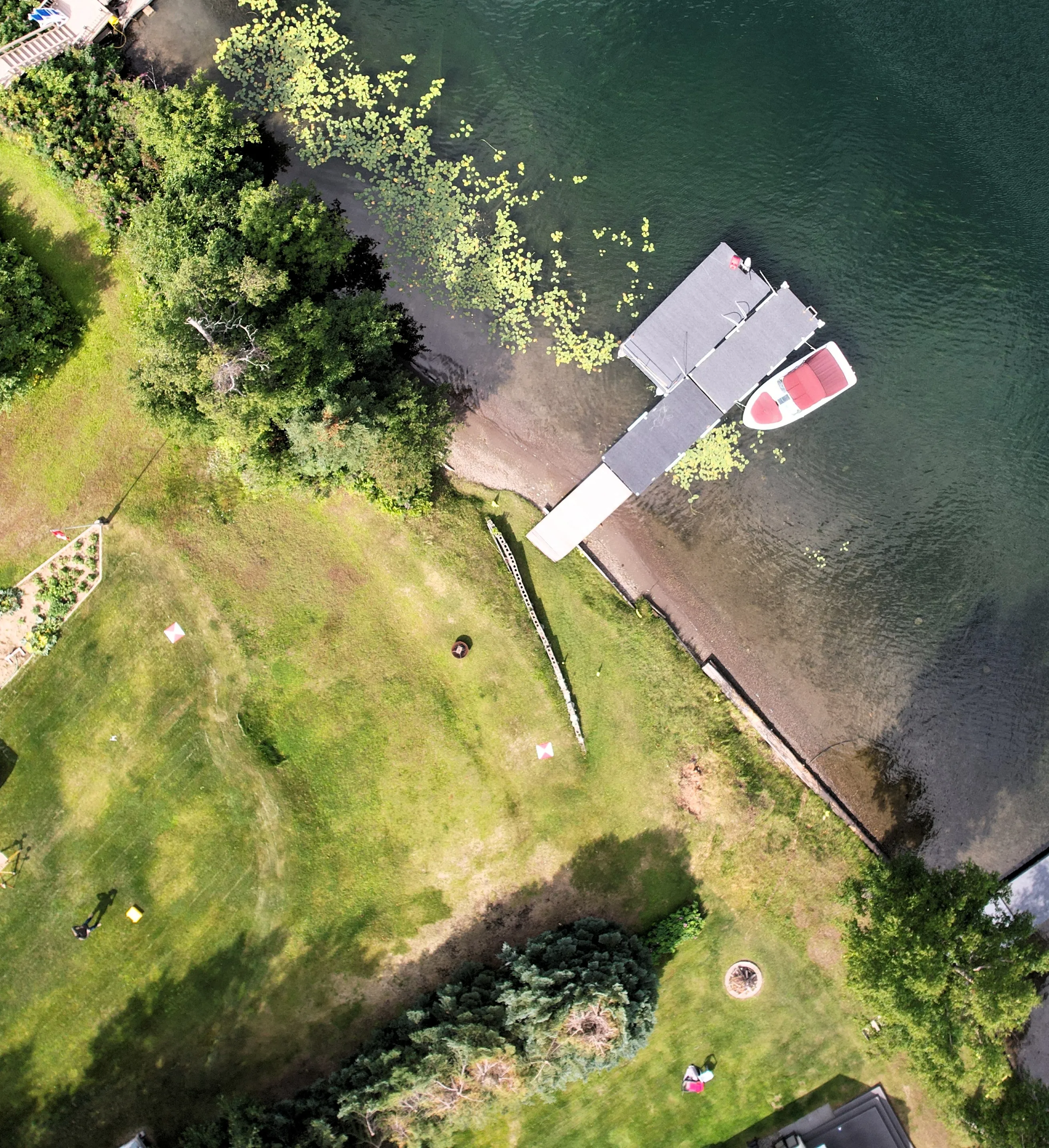
Lakefront lot topo for environmental and building permits
Topographic mapping of a lakefront residential lot for the owner's environmental and building permit submissions to the regional district. Ortho, surface models, and a CAD base set — no boundary-line determination, just clean site works for the permit package.
residentialenvironmental