Skyland Imaging
Built to measure.
Drone mapping and geomatics for northern BC. Survey-grade, northing less.
Operations conducted under Transport Canada Level 1 Complex Pilot Certificate and RPOC.
Who I work with
Four kinds of clients — one geomatics stack
-
Environmental consultants
Long-term aerial mapping and documentation for monitoring programs.
-
Drone operators
Processing, GCPs, and reporting support for pilots who fly but do not process.
-
Civil and earthworks contractors
Volumetrics, pre-construction baselines, and as-built documentation.
-
Land developers
Topographic base mapping, contours, and orthos for subdivision design and permit submissions.
Selected work
Recent projects
A few case studies with the numbers attached. More under Projects.
-
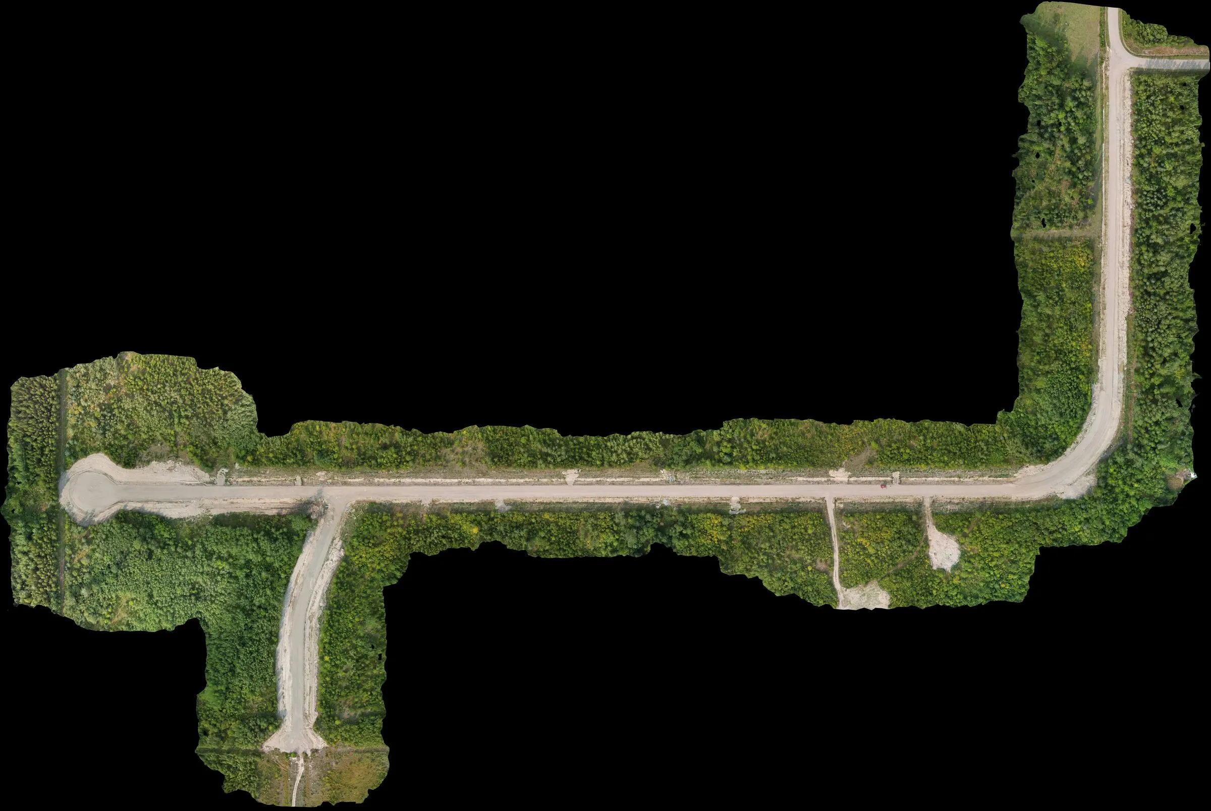 Full Service Prince George area, BC
Subdivision mapping with a control network recovery
Subdivision topographic and ortho mapping with the added job of salvaging a compromised control network left over from a prior contractor. Mapped the site, then compared current conditions against the original design to estimate completion remaining.
civil -
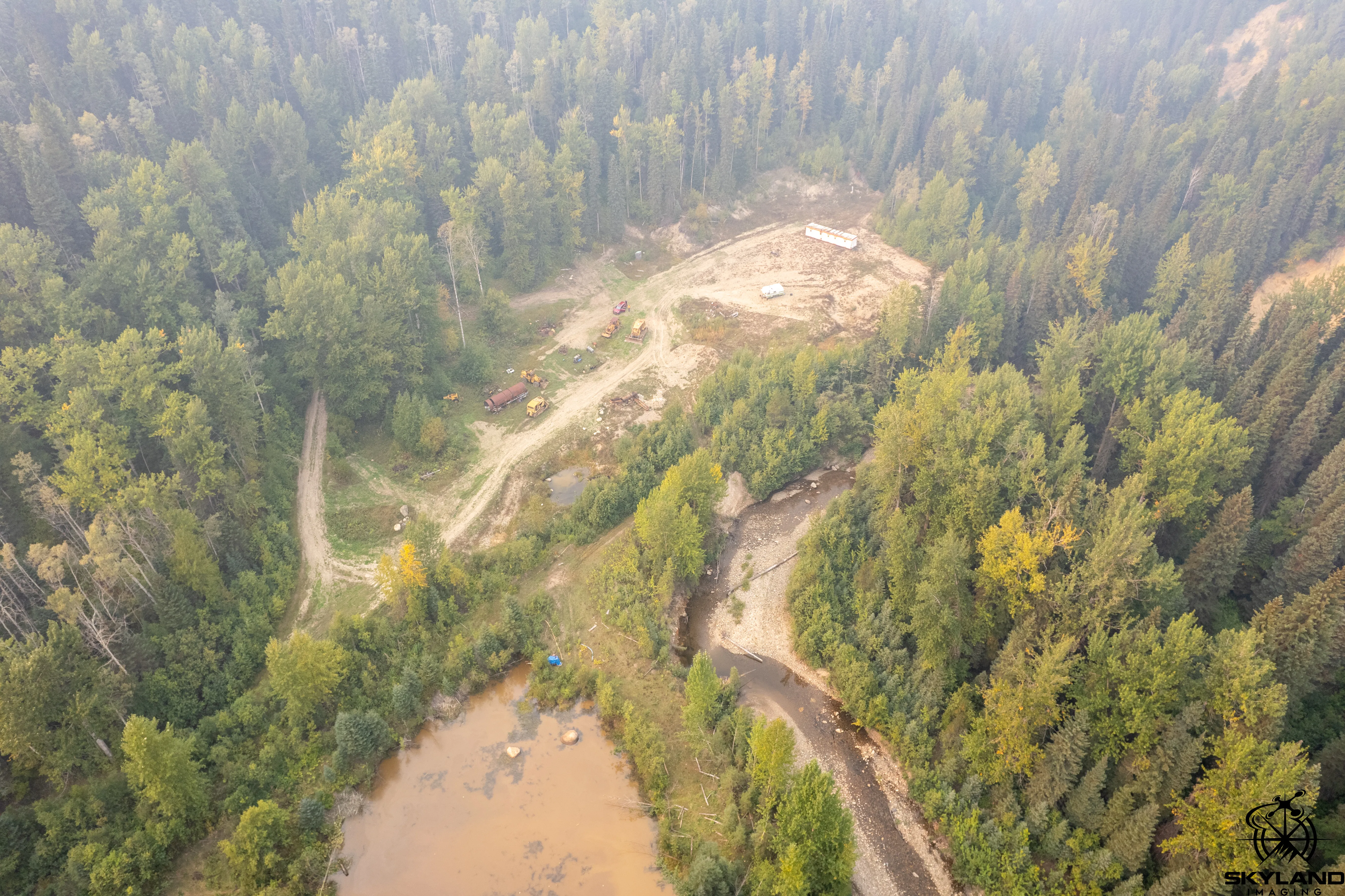 Full Service Interior BC
Placer claim topographic mapping, smoke-season flight
Standard placer-claim mapping package flown in northern BC during wildfire smoke season. Typical claim-holder deliverable — ortho, DSM, bare-earth DEM, claim extents overlaid — with the added reality of working inside heavy ambient smoke at altitude.
mining -
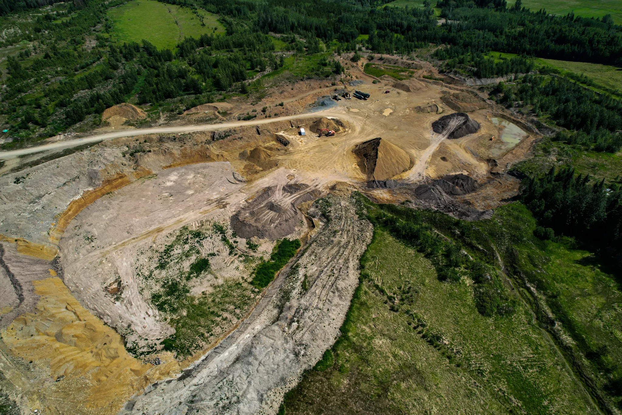 Full Service Tabor Lake area, BC
Topo update for an active aggregate pit
Refreshed the topographic surface of an active aggregate pit south of Prince George. Tied into the site's existing control so the new data dropped straight into the operator's design environment.
mining
Ready when you are
Tell me about the site
Send me the rough outline — what you need, when, and where — and I’ll come back with a plan and a quote.