Placer claim topographic mapping, smoke-season flight
Standard placer-claim mapping package flown in northern BC during wildfire smoke season. Typical claim-holder deliverable — ortho, DSM, bare-earth DEM, claim extents overlaid — with the added reality of working inside heavy ambient smoke at altitude.
- Client
- Confidential
- Area
- 20 ha
- Industry
- mining
The ask
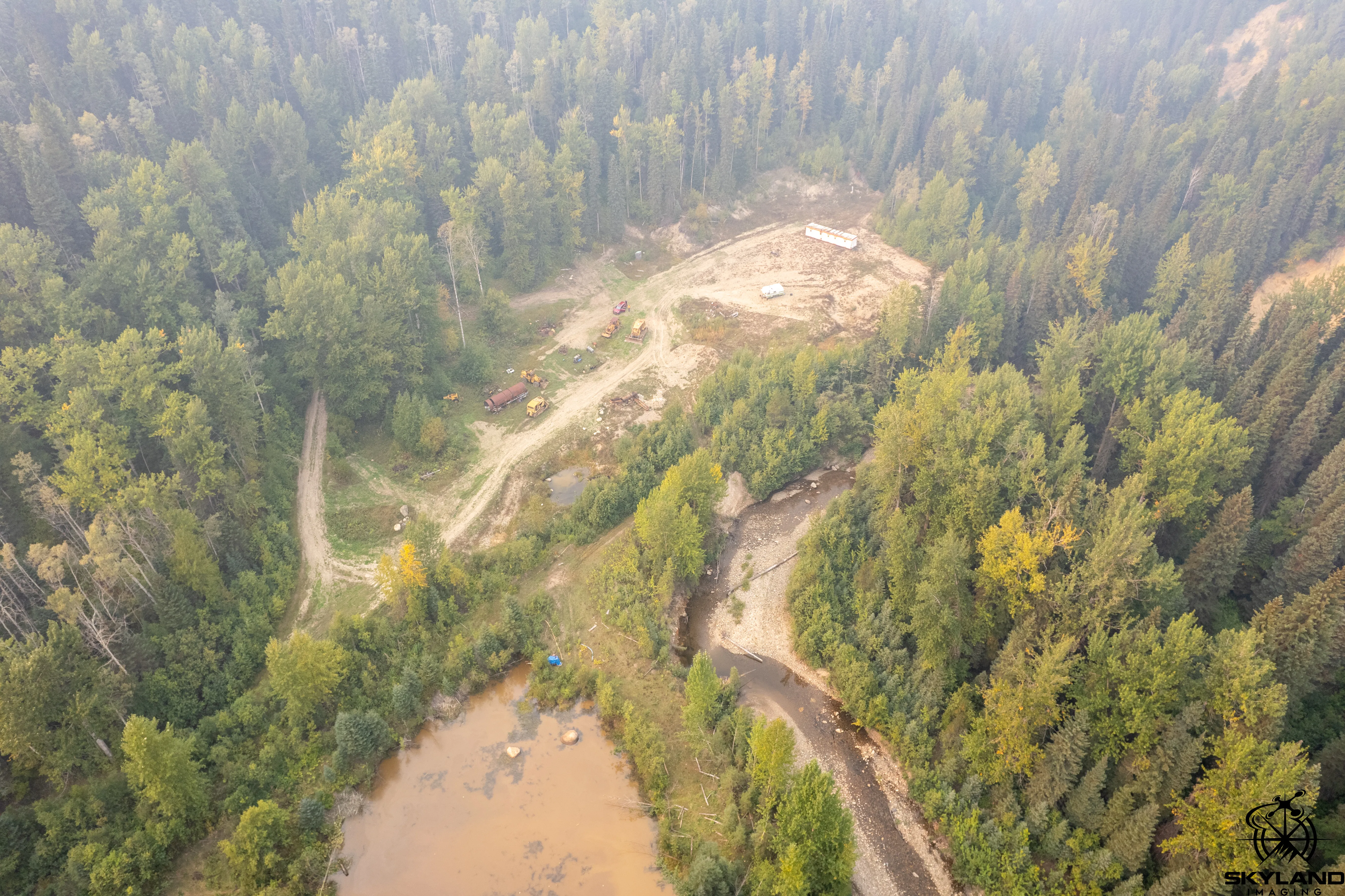
Standard annual mapping package for a placer claim — claim extents, ortho, surface and bare-earth models, and a coordinate table for the claim posts. Nothing unusual about the scope. The unusual part was the season.
How I approached it
Flew during BC’s wildfire smoke season, nowhere near an active fire, but with the kind of diffuse ambient smoke that sits over the northern interior for weeks at a time when things are burning somewhere else in the province. That kind of smoke doesn’t stop a flight, but it does flatten image contrast — photogrammetry needs texture to tie points together, and smoke-attenuated imagery gives you a softer, less distinct scene.
Planned for it. Flew at a lower altitude than I would in clear conditions to keep GSD tight, increased overlap so the bundle adjustment had more ties to work with, and held the flight window to the part of the day with the best light. Emlid base static-logged through the whole block, GCPs re-observed on pickup.
Processed in Agisoft Metashape Pro with standard claim parameters. Built the claim extents map against the processed ortho, exported the coordinate table for the claim posts, and handed the package off.
Outcome
Standard placer deliverable out the door. The useful bonus was a real record of what smoke-season flight conditions look like in the sensor data — something that comes up every year in the BC interior and every year somebody pretends they can just push through it. Doing it with intent gets better results than doing it blind.
Deliverables
- • Orthomosaic
- • Digital Surface Model
- • Bare-earth DEM
- • Claim extents map (PNG + CAD)
- • UTM coordinate table for claim posts
Tech
- • DJI Mavic Air 2s
- • Emlid Reach RS3 (base + rover)
- • Agisoft Metashape Pro