Lakefront lot topo for environmental and building permits
Topographic mapping of a lakefront residential lot for the owner's environmental and building permit submissions to the regional district. Ortho, surface models, and a CAD base set — no boundary-line determination, just clean site works for the permit package.
- Client
- Confidential
- Area
- 1 ha
- Industry
- residential, environmental
The ask
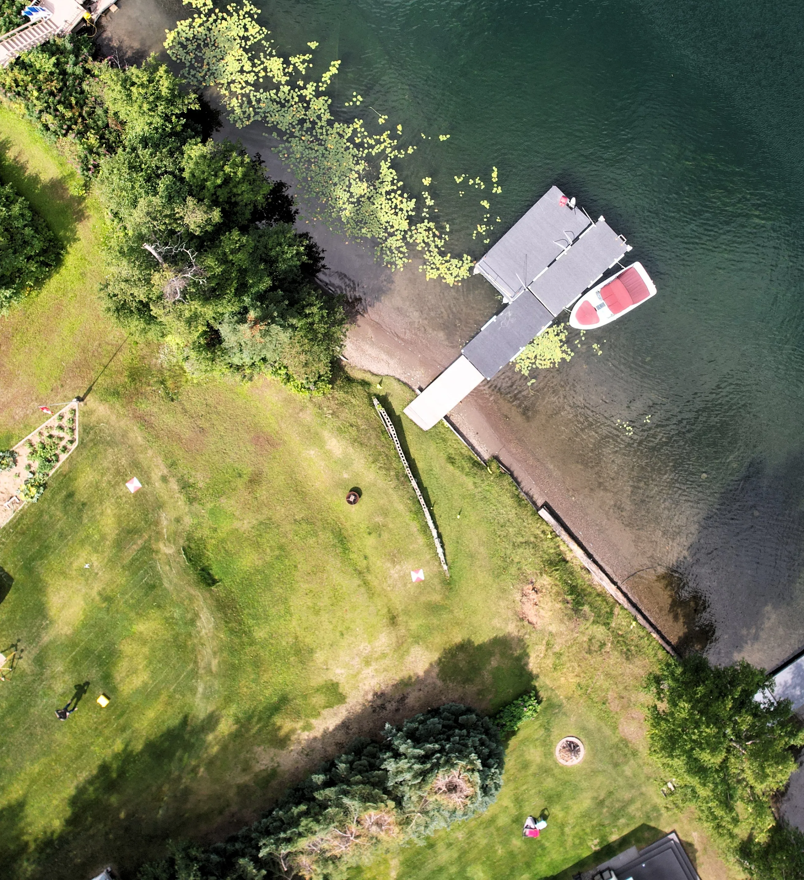
Owner of a lakefront lot needed a topographic base to support environmental and building permit submissions to the regional district. Not a legal survey — no boundary-line determination — just clean site works for the package: current topo, shoreline context, tree cover, and where a house could reasonably sit.
How I approached it
Set the base on an existing control monument, shot ground control across the lot including near the shoreline and up the slope. Flew the full parcel with the Mavic. Picked up the GCPs on pickup. Processed in Agisoft Metashape Pro, classified the point cloud to separate ground from vegetation, and pulled a SurvBASE CAD file in AutoCAD with the existing conditions ready for the owner’s designer to work against.
Deliverables
Orthomosaic, digital surface model, bare-earth DEM, classified LAS point cloud, and the SurvBASE DWG. The CAD file is the one that matters most on a permit submission — it’s what the reviewer can measure from.
Outcome
Permit submission went out with real data instead of a sketch. This is the bread-and-butter — site works for permit support is the largest single category of what I do. A small lot, a current ortho, a clean surface, a CAD base, and a package that a regional-district reviewer can actually use.
Deliverables
- • Orthomosaic
- • Digital Surface Model
- • Bare-earth DEM
- • Classified LAS point cloud
- • SurvBASE CAD file (DWG)
Tech
- • DJI Mavic Air 2s
- • Emlid Reach RS3 (base + rover)
- • Agisoft Metashape Pro
- • AutoCAD (SurvBASE)